Land and agricultural management and waterways
Build a solid foundation for your land and waterways management with survey data and services you can trust. Let our team of professionals guide you through the best surveying services and data products available to you for well-informed land and waterways management.
Whether your requirements be for boundary establishment or development, detailed modelling of your land terrain or waterways, or geo-referenced high-resolution imagery of your site land, we can assist you with surveying services and custom geo-information tailored directly to your needs.
Boundary surveys
Have confidence in your site boundaries. We can peg your boundary prior to any fencing or development project or for land use or crop area requirements
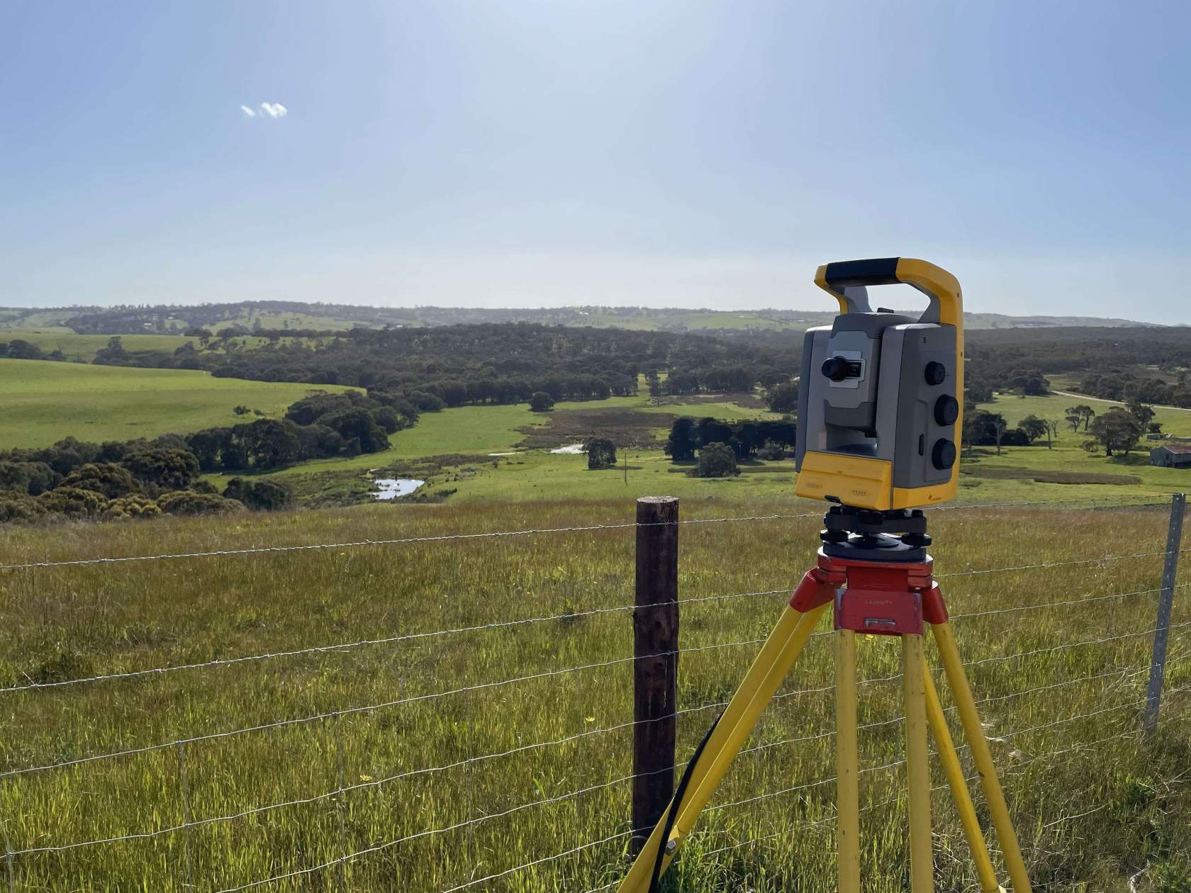
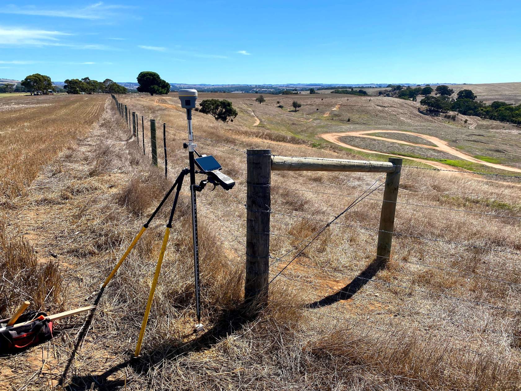
Accurate topographic surveys
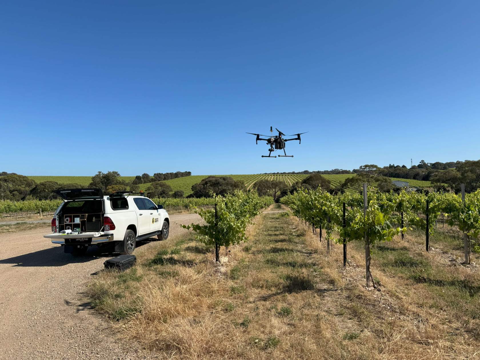
Any agricultural and farming planning should start with the solid foundation of accurate ground surface models. A feature and level survey or detail survey can accurately position site features on a plan, or a drone flyover can produce detailed land topographic terrain models and imagery in a relatively short period of time. Drone surveys can also be a quick, effective and efficient way to show land conditions or use over time.
Drainage and Irrigation planning
An efficient irrigation system starts with a detailed topographic plan. We can provide you with accurate geo- referenced land models to assist with any irrigation and hydrology planning, or to understand the efficiency of existing irrigation systems. Topographic models can also help in design which will minimize the possibility of erosion, and inform design for efficient placement of drainage channels, or water retention areas. Automated irrigation systems can be programmed with geo-referenced data from these surveys to ensure irrigation areas are geo-fenced to particular areas maximizing efficiency.
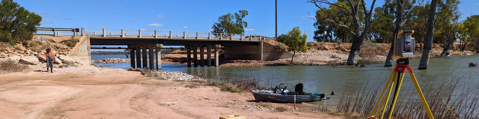
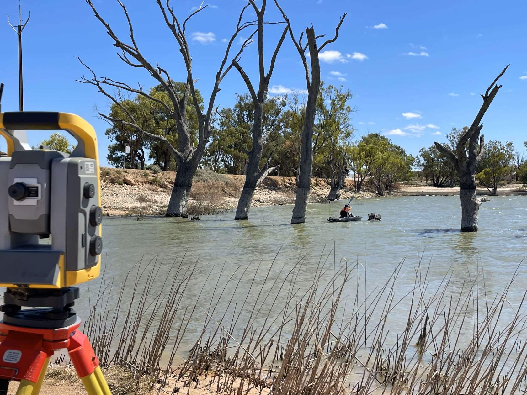
Waterways
We’re not just at home on the land we also take to the water. Let our hydrographic survey teams assist with any water-based surveys including soundings for waterways such as dams. This topographic detail can then be used to determine water volumes, or monitor for sedimentation build up.
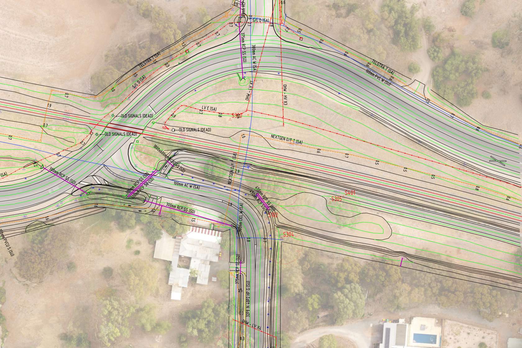
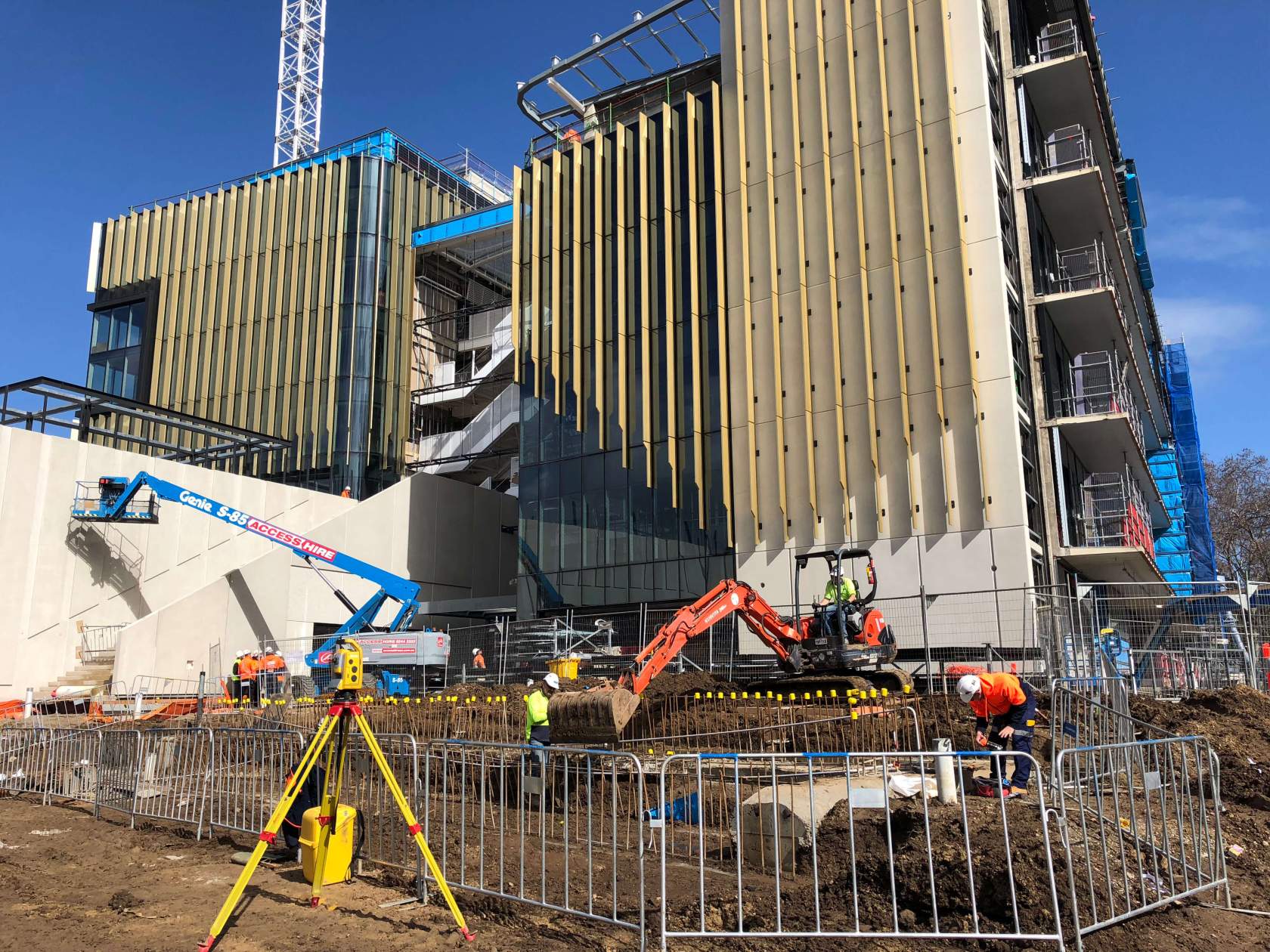
Land use planning and development
Topographic surveys can be used to inform design for any other land use requirements, including internal roads, structures, services or other site infrastructure. Our site teams can assist you in efficient and accurate setting out of these design features on the ground to enable construction to follow.
Take a look at some of our recent projects


Our site teams can perform a crucial role by providing accurate measurements, spatial data, and mapping information that is essential for efficient farm planning, resource management, and decision-making in various agricultural applications.