Unlock the potential of 3D Scanning and 3D Modelling with our expert teams
Harness the incredible power of 3D scanning and modelling for your project. 3D scanning offers unmatched speed in data acquisition and an unparalleled level of detail. Point cloud modelling takes it a step further.
What can 3D Scanning achieve for you?
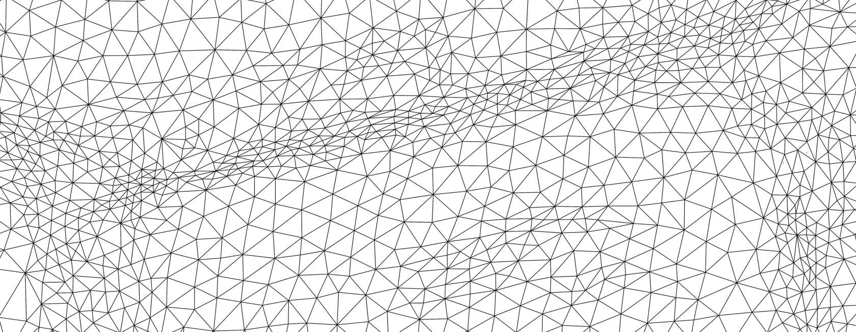
When it comes to gathering spatial information, the advantages of 3D scanning are immense. Scanning is fast and detailed and when combined with 3D modelling data sets can also be dramatically reduced in size, transforming into portable data that can be read into virtually any CAD software. This state-of-the-art technology has the potential to completely transform the way you gain insights into a project environment.
Here's what you can expect:
3D Scanning
Speed
Large amounts of data captured in a relatively short period of timeRich data sets
Very detailed 3D point cloud data captured in full colourAccuracy
This depends on the scanner deployed, but our Trimble SX12 scanner achieves 2.5mm positional accuracy at 100m.Remote applications:
Detail can be captured in remote areas otherwise not accessible
Some applications include:
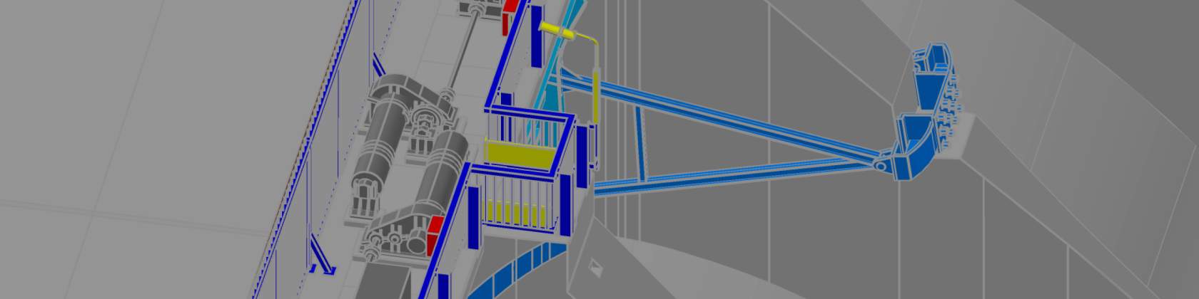
Scan to BIM (Building Information Modelling) - detailed as-builts of existing structures;
Capturing surfaces to a high level of detail, "heat map" as-builts can then be produced to show conformance to design;
Detailed architectural and building facade capture;
Archaeology and cultural heritage documentation;
Tunnel surveying;
Industrial applications including location of complex pipe-work;
Forensics and crash scene investigation;
Mining and bulk earthworks terrain modelling for accurate volumes;
Long distance monitoring/ change detection;
Slope stability studies.
3D Modelling
Much smaller files:
Point clouds are generally very large data sets, but once modelled the size reduces dramatically allowing greater portability and collaborative usage;Accurate models:
Care is taken to ensure modelling aligns very closely with 3D scans;Enhanced visualization:
3D models can be imported into BIM (Building Information Modelling) which enables enhanced visualization of a building or structure. The digital BIM model can be used to create detailed 3D renderings, animations, and virtual tours;Cost savings:
3D BIM models can result in cost savings, as it can help reduce the need for rework and revisions, and can improve the efficiency of the design, construction, and maintenance processes;Flexibility:
Once 3D models are created they can be easily read into a number of different software platforms and easily integrated with other data;
Improved collaboration:
3D models allow for improved collaboration between different stakeholders, as the digital model can be accessed and shared by multiple parties involved in the design, construction, and maintenance of a building or structure;Scalability:
Once the 3D model is created, it can easily be scaled up or down for 3D printing purposes for example.
Riegl VZ-600i
The Riegl VZ-600i is a new generation scanner that has changed the game completely. This scanner is incredibly fast and accurate, with on board processing that processes the data as you go reducing office time dramatically. With a 2 million points per scan data capture, and 60 scans per hour capability with image acquisition, it allows productivity like never before. The Riegl VZ-600i is light-weight and can be mounted on a tripod or car rack. Its speed enables scanning in busy road corridors for example where time in the corridor needs to be minimized, or for large areas requiring maximum data acquisition in the minimum time. A fantastic example is a scanning project of one of the largest squares in Europe, the Piazza Prata della Valle in Padua, Italy, where 480 scans were undertaken in 8 hours - find out more.
Key specs:
Broad range capability (0.5 m up to 1000 m)
2 million points per second capture
5 sec scan time for low resolution overview scans
30 sec scan time for 6 mm resolution @ 10 m distance
60 scan positions per hour (with image acquisition)
3D position accuracy up to 3 mm @ 50 m
Precise real-time onboard registration
3 internal cameras (offering optional on-board face detection and automatic facial blurring in real-time before image storage)
Internal GNSS receiver / external RIEGL GNSS RTK receiver (optional)
Internal IMU
Mobile use ready
Trimble SX12 Scanning Total Station
The Trimble SX12 Scanning Total Station is a standout scanner in the surveying industry due to its advanced capabilities and versatility. Combining the functionalities of a total station with high-speed 3D scanning, the SX12 delivers precise and detailed data capture, making it ideal for a wide range of surveying applications. Whether it's topographic mapping, construction site monitoring, or building as-built documentation, this scanner excels in providing accurate and reliable results.
One of the key features that sets the Trimble SX12 apart is its seamless integration with Trimble field and office software. This integration streamlines the data collection and processing workflow, allowing surveyors to efficiently manage and analyse data in real-time. Additionally, the SX12's robust build quality ensures durability and longevity, making it a dependable tool for demanding field conditions.
Key specs:
1” angular accuracy & 1mm + 1.5ppm prism accuracy
Vivid, eye safe laser pointer: 3mm at 50m
Fast data capture: 26,600 point per second (scanning)
Why Choose Us?
We are committed to delivering results that exceed your expectations. Here's why you should choose us for your 3D scanning needs:
Expert Teams
Our teams consist of seasoned professionals who are experts in the field of 3D scanning. You can trust us to provide top-notch guidance and support.Cutting-Edge Technology
We use the latest 3D scanning technology to ensure that your project benefits from the most advanced tools available.Customized Solutions
We understand that every project is unique. That's why we offer customized solutions tailored to your specific needs and goals.
Ready to Get Started?
Don't miss out on the incredible advantages that 3D scanning can bring to your project. Contact us today, and let our expert teams guide you towards success. Together, we'll achieve unrivalled speed of data acquisition and detail that will set your project apart from the rest.