Topographic surveys and spatial data capture
Our detail survey teams are experts in their field producing quality mapping data, though the efficient use of robotic total stations, GPS rovers, 3D scanners and aerial drone mapping.
Regardless of the size or complexity of your project, our dedicated detail survey division can provide you with high-quality foundational mapping data. Our detail survey teams are experts in their field with the efficient use of robotic total stations, GPS rovers, and the transformative technologies of 3D scanning and aerial drone mapping. These technologies, partnered with our dedicated and experienced teams have extended our ability and reach in providing rich quality data sets with an efficiency never before possible.
Detail surveys
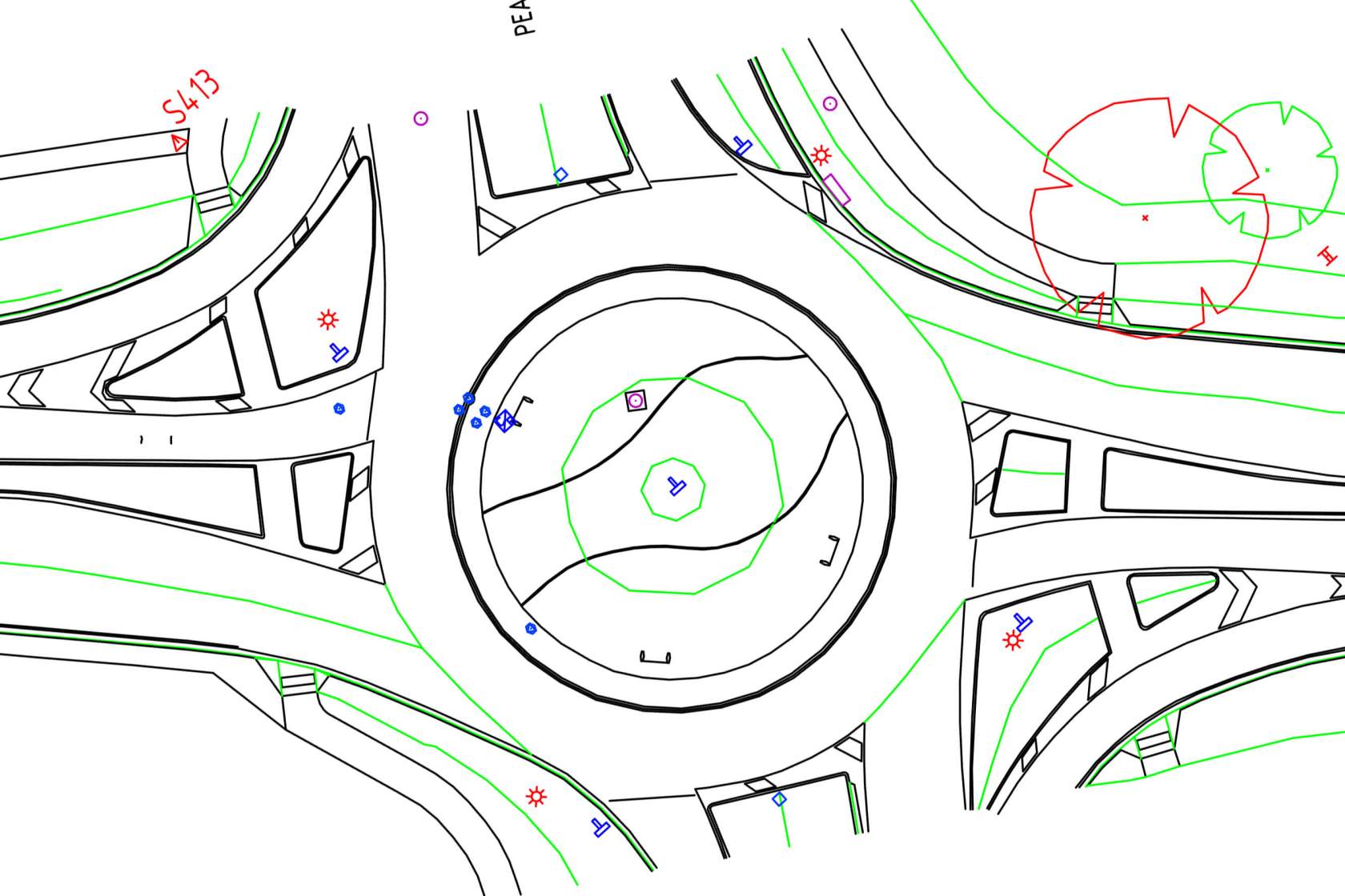
A detail survey or feature and level survey can provide information about your site including features, level contours, structures, trees and services. The cornerstone of quality data lies in a precise survey control network, and our proficiency covers a wide range, from small-scale surveys to large projects that require the coordination of multiple teams over significant distances. Quality survey data is available in various formats, including compliance with the SA Department of Infrastructure and Transport standards, for which we proudly stand as a preferred supplier.
Detail surveys can provide design-ready base map data for roads, rail, bridges, buildings, pipelines and housing or commercial allotments and can provide valuable information about underground services, ground topography and accurate spatial location of all features. Final survey models comprise 2D or 3D strings, points and symbols in CAD format for import into design software or for production of detail survey plans.
Traditional detail surveys can be further enhanced with 3D scans and modelling, or aerial mapping for stunning background orthophoto imagery.

3D scanning
3D laser scanning is a revolutionary technology that allows for fast and accurate capture of complex environments and objects. With its ability to quickly and efficiently gather millions of data points, 3D laser scanning is becoming increasingly popular in a variety of industries, including engineering, architecture, construction, and manufacturing.
One of the biggest advantages of 3D laser scanning is its speed. Traditional surveying methods can be time-consuming and labor-intensive, but 3D laser scanning allows for the capture of large amounts of data in a fraction of the time. This makes it an ideal solution for projects where time is of the essence, such as in construction, where delays can be costly.
Our Trimble SX12 Scanning Total Station has an 800m range, and an accuracy of 2.5mm at 100m and produces beautifully clear data sets. We also utilize the amazing Riegl VZ-600i 3D scanner which records up to a million points per second for rapid data acquisition and mobile mapping applications.

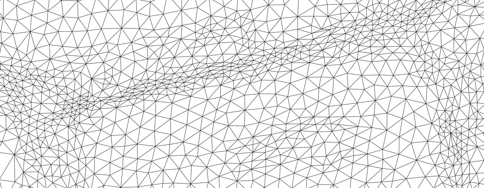
3D point cloud modelling
After detailed 3D point cloud capture we are then able to create detailed 3D models for a number of different uses. Some of the advantages of modelling a point cloud are:
Much smaller files: point clouds are generally very large data sets, but once modelled the size reduces dramatically allowing greater portability and collaborative usage;
Enhanced visualization: 3D models can be imported into BIM (Building Information Modelling) which enables enhanced visualization of a building or structure. The digital BIM model can be used to create detailed 3D renderings, animations, and virtual tours;
Flexibility: once 3D models are created they can be easily read into a number of different software platforms and easily integrated with other data;
Improved collaboration: 3D models allow for improved collaboration between different stakeholders, as the digital model can be accessed and shared by multiple parties involved in the design, construction, and maintenance of a building or structure;
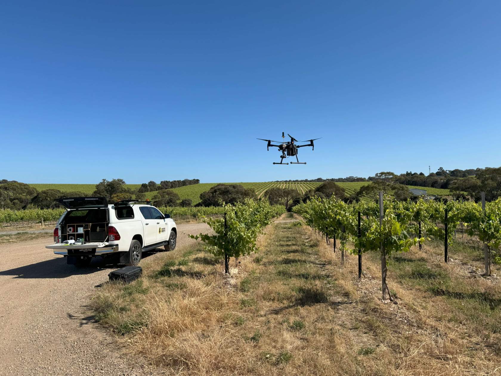
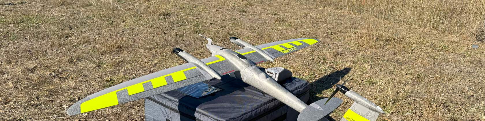
Aerial mapping
Remotely Piloted Aircraft Systems (RPAS) have the advantage of being able to fly large areas in a short period of time which can save time and money on conventional methods which can take many times longer. Our drone imagery can be processed to produce ground models and contours to typically 2cm accuracy, as well as beautiful geo-referenced orthophoto mosaics which can be overlaid in applications such as AutoCAD. With our DJI Matrice 200 v2 we can cover a large area in a single visit (200ha) and can potentially operate in difficult, hazardous or completely inaccessible areas. Applications can include:
Digital terrain models
Stockpile volumes
Topographic surveys
Pit volumes
Environmental monitoring
Project timeline photos
3D models extraction
Geo-referenced orthomosaic maps
Point clouds
Asset management for council and rural applications
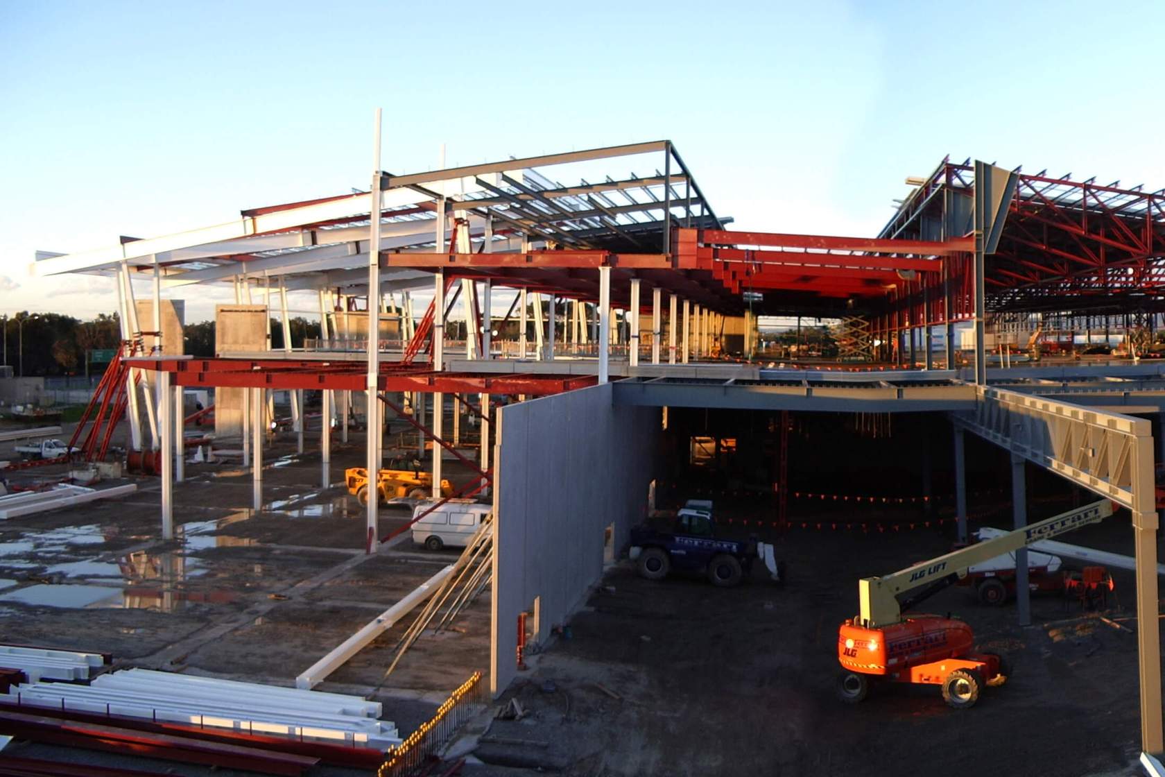
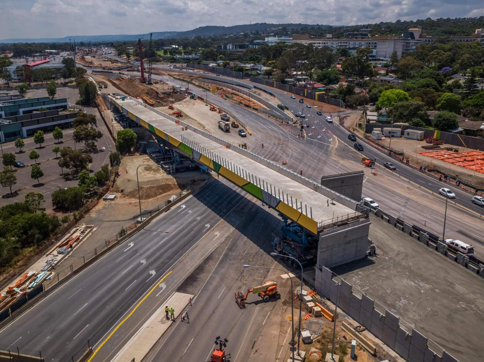
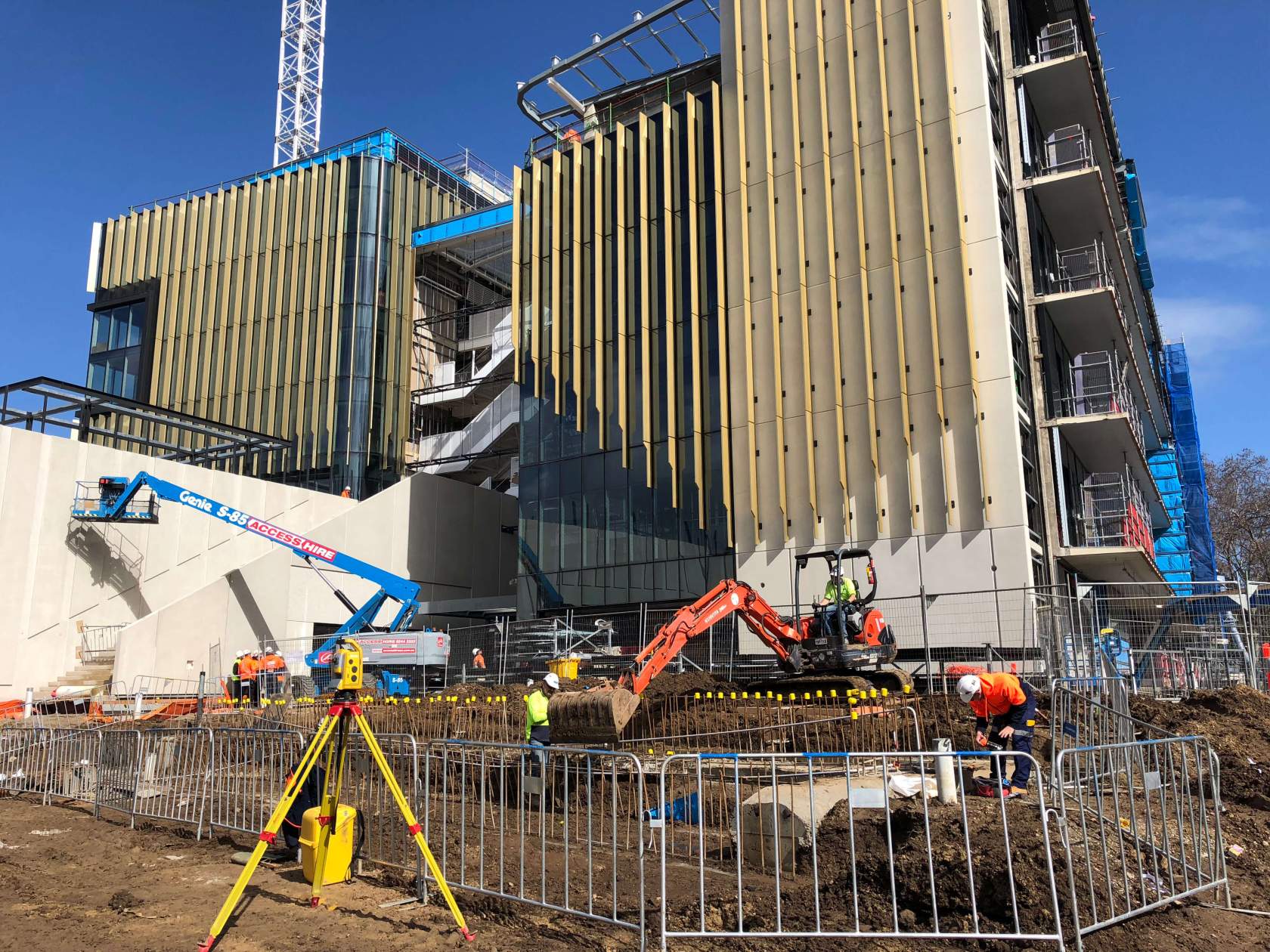
Take a look at some of our recent projects