We provide expert surveying support in marine construction and hydrographic projects.
Our teams are experts in marine construction, delivering accurate and timely surveys to give you confidence at all stages of the construction process.
We can partner with you to deliver timely survey support for your marine construction projects. We have a broad base of construction expertise including extensive experience with piling setout, wharf construction, marina developments, dredging control, seabed surface profiling, cable and pipeline projects.
Marine construction surveys
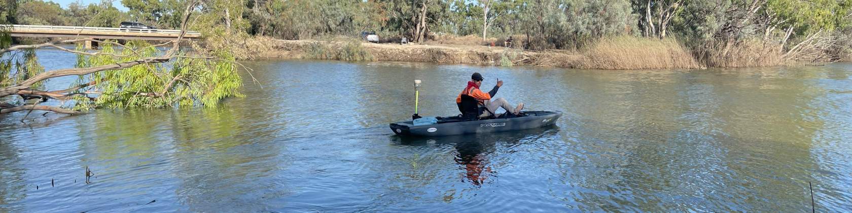
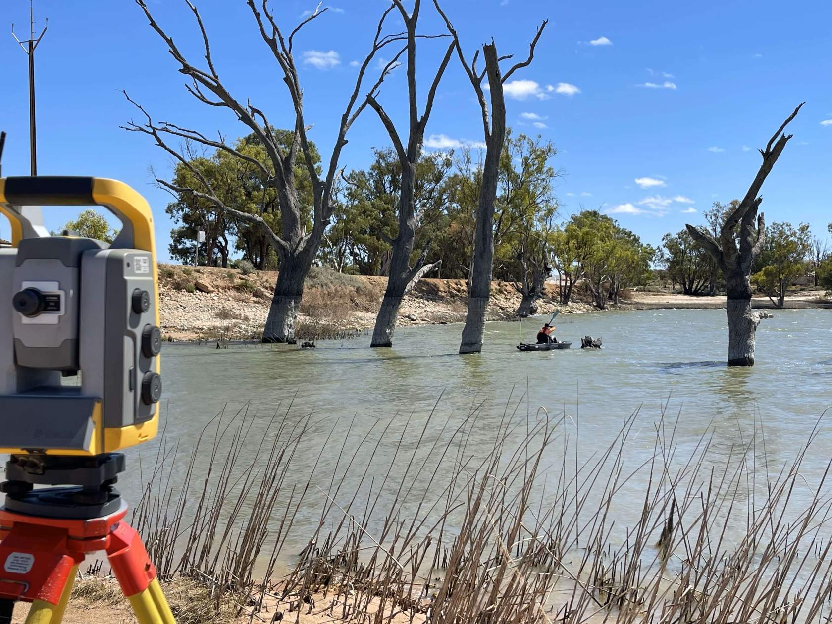
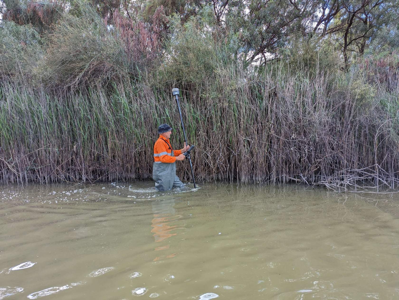
Our experienced teams can provide surveying support for marina development, shipping berth setout, pontoon piling setout and wharf construction. As well as Trimble robotic total stations and GPS rovers we can utilize 3D scanners to pick up detailed information about remote objects such as piling or bridges.
Sub-surface/seabed profiling
Hydrographic data collection including bathymetric surveys can be undertaken with a range of different methods ranging from smaller water craft shallow water projects utilizing the Trimble SonarMite BTX echosounder to larger projects requiring multibeam sounder solutions. For larger projects we utilize the Norbit WBMS 0.9deg @ 550khz with sound velocity corrections AML Minox SVP, positioning and heading with the Novatel SPAN PPP–Terrastar C Pro, Roll, pitch & heave: Span with FSAS IMU and tide corrections with Trimble VRS RTK gps. Hypack/Hysweep Software is utilized for processing and corrections.