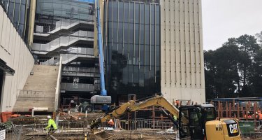
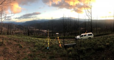
GPS Surveys

Engineering Surveys uses the latest Trimble GPS systems in static, fast-static and real time kinematic (RTK) modes delivering and efficiency of construction setting-out and land surface modelling twice that of conventional survey methods. Previous GPS applications have included:

  • Precision control surveys;
  • Topographic mapping;
  • Detail and feature mapping;
  • Pipeline and route surveys;
  • Precision monitoring surveys

Contact us
Call 08 8340 4469

Or email us below

Project Gallery

See all projects

Association connections

  • Civil Contractors Federation Member
  • South Australia
  • Surveying and Spatial Sciences Institute
I approached Engineering Surveys whilst engaged on the construction of the New Royal Adelaide Hospital landscape package. Engineering Surveys helped me to control the outcome of the landscape works at...
James Doggett, Penfold Projects