Remotely Piloted Aircraft Systems (RPAS)
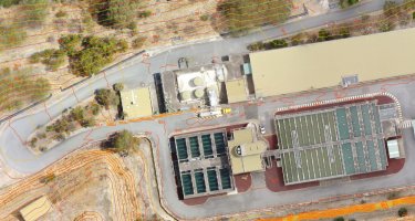
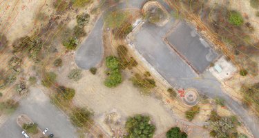
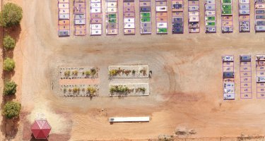
Aerial mapping can be very cost-effective option with large areas able to be surveyed relatively quickly to traditional methods, and through photogrammetric processing, deliverables produced can include:
- Geo-referenced orthophoto mosaics
- 3D point clouds
- Digital terrain models (3D triangulation)
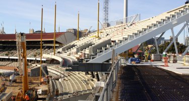
- 3D models of structures
Geo-referenced orthophotos can then be further augmented with survey data picked up on the ground, terrain contours or overlaid design drawings.
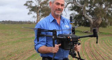
There's a number of operators in the market offering aerial drone services - why use us? The difference is that surveying expertise can give you 100% confidence in the data collected. We use accurate ground control points (GCPs) to independently prove the data, so you can have complete confidence in the final data deliverables.
So how accurate is it? It depends partly on what accuracy you require. Flying lower can yield higher accuracy with more photos, but flying higher can cover larger areas. Typical accuracy achievable is similar to survey grade GPS or around 2cm vertically and 1.2cm horizontally.
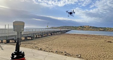
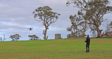
Aerial mapping with Remotely Piloted Aircraft (RPAs) can also capture areas that are difficult, hazardous or completely inaccessible using conventional survey techniques.
Applications can include:
- Digital terrain models
- Stockpile volumes
- Topographic surveys
- Pit volumes
- Environmental monitoring
- Project timeline photos
- 3D models extraction
- Geo-referenced orthomosaic maps
- Point clouds
- Asset management for council and rural applications
Give us a call if you're interested in discussing your next mapping project, we're always happy to help and we really enjoy great client outcomes!
Engineering Surveys Pty Ltd (ARN 1075771) is certified by the Civil Aviation Safety Authority (CASA) as a Remotely Piloted Aircraft (RPA) operator. RPA Operators Certificate (ReOC): CASA.ReOC.6662.
