Northern Expressway
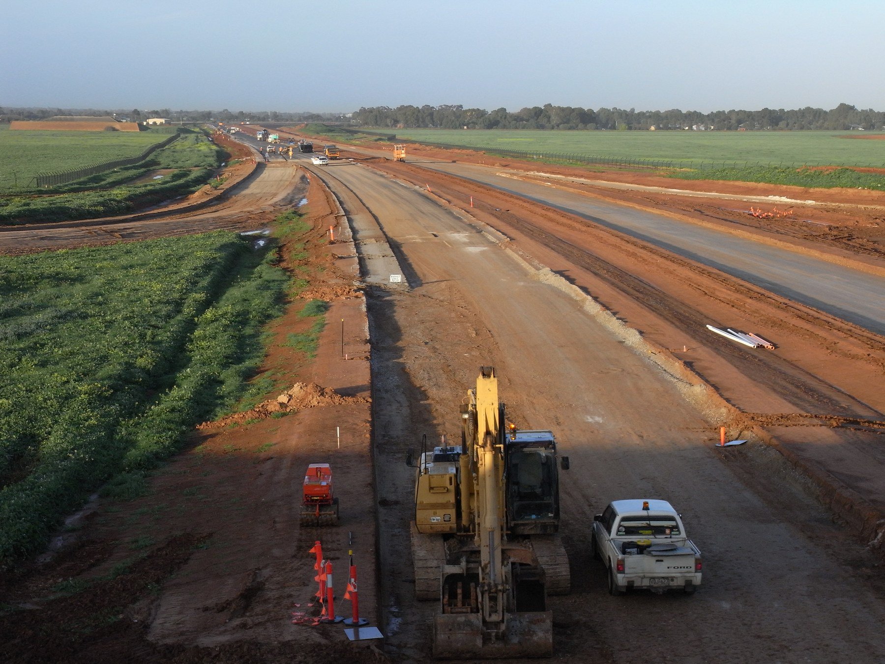
The Northern Expressway is a new 23 kilometre road with a pedestrian and cycle pathway linking the Gawler Bypass with Port Wakefield Road at a point about three kilometres north of the Waterloo Corner Road intersection.
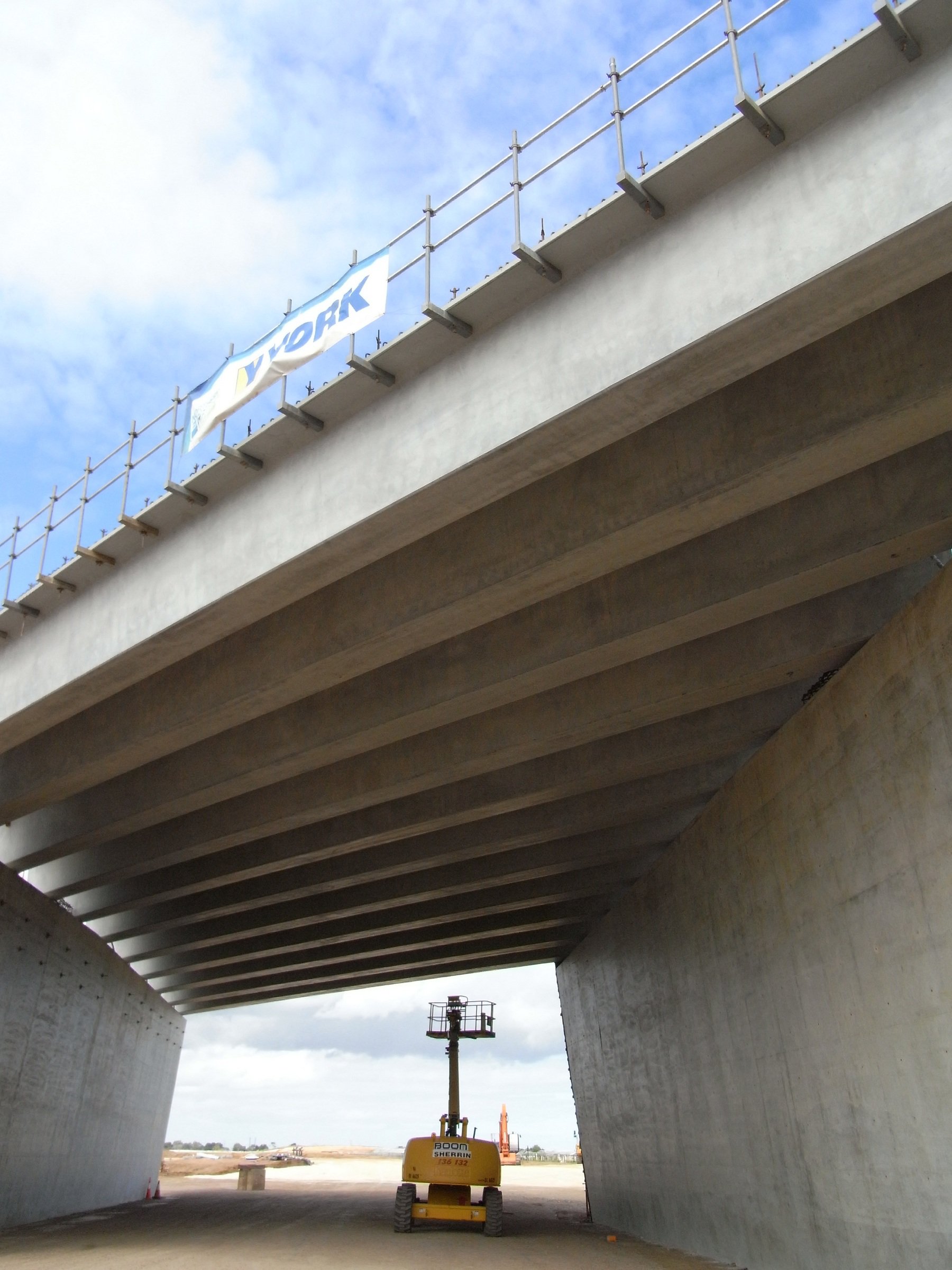
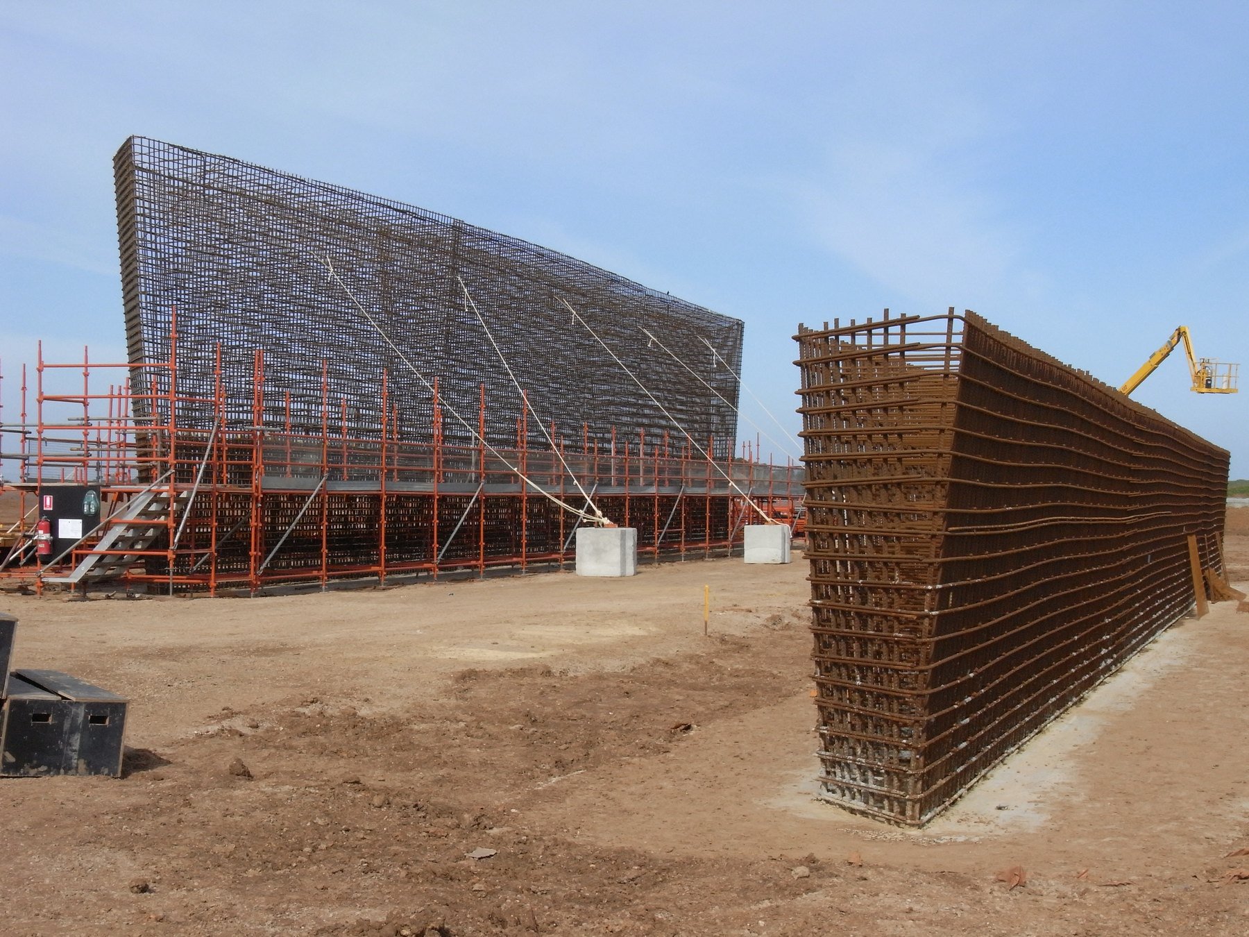
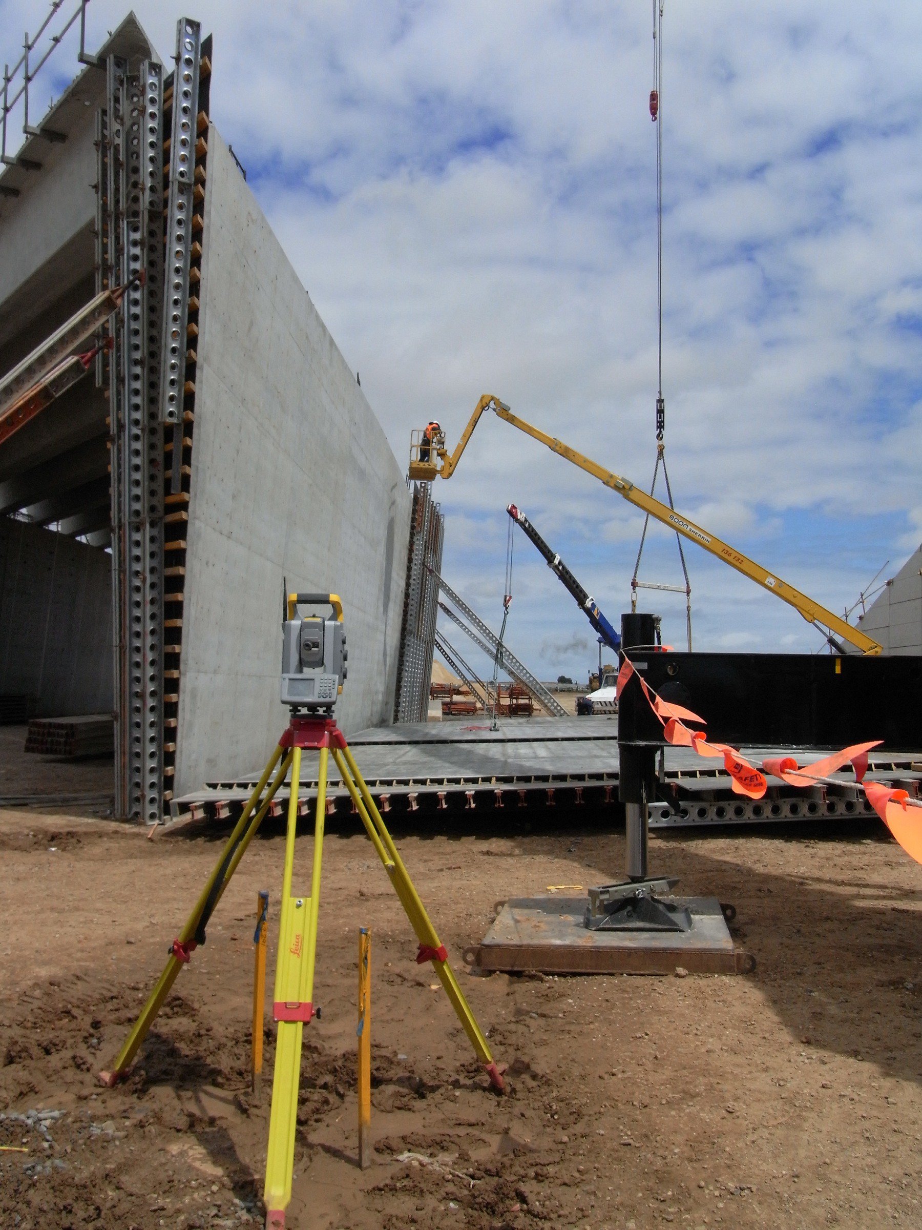
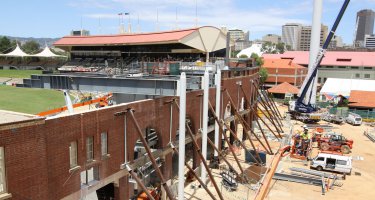
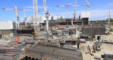
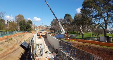
Engineering Surveys provided surveying services for the seven road interchanges, as well as bridges over Gawler River and ARTC Rail line, including setout of all overpass, bridgeworks and underground services.
Gawler to Port Wakefield Road section key features:
- four lane, two-way expressway with divided roadway
- speed limit of 110km/h
- full speed connection at Gawler, linking with the Gawler by-pass
- a free flowing interchange linking with Port Wakefield Road
- entry to the expressway via interchanges
- overpasses across the expressway
- changes to the road network
- a recreational cycle and pedestrian pathway
For a map of the new expressway from the DTEI website click here:
http://www.northernexpressway.sa.gov.au/__data/assets/pdf_file/0005/33764/nexy_sept_08.pdf